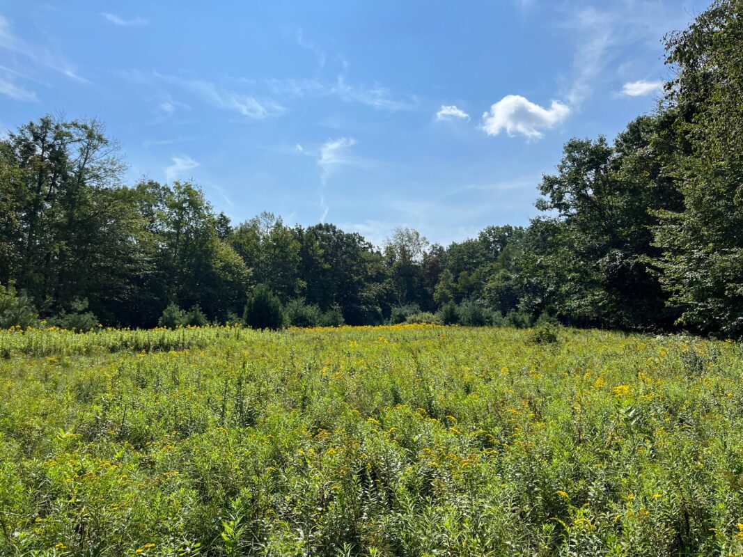
The meadow at Clary Hill.
Enjoy opportunities for new adventures on the trails of Clary Hill and neighboring Briar Hill. Rolling and sometimes steep and rugged nested-loop trails and spurs take you across a dynamic range of habitat types and features, including stone steps and walls, rocky jumbles, lush wetlands, an oak-hickory glade blanketed with sedge, a crossing of the Cold Brook, and the scenic Briar Hill overlook with views reaching to Mt Tom.

A volunteer effort
Nearly 30 volunteers spent over 700 hours building the Clary Hill trails, contributing:
- Stone staircases
- Wooden bog bridges
- Erosion-resistant graded trail surfaces
Photo: Members of the Williamsburg Woodland Trails Committee.
Trails
The 0.8-mile Briar Hill loop is marked with Williamsburg Woodland Trails medallions and yellow blazes. The 2 miles of trails on Clary Hill, including the Farm Lane, Meadow Loop, and The Ledges Trail are blazed in light blue. The Pines Link and Mossy Link between Clary Hill and Briar Hill are blazed in yellow.
Note that there are no restrooms or other facilities at this location.
Dog Safety
Dogs on leash are welcome on the trails. Clary Hill is rich with wildlife, including moose, bear, porcupines, and sensitive wetlands and habitats. For the safety of your pets as well as the plants and animals that call these hills home, dogs must be on leash during your visit.
Property Guidelines
The trails are open to the public following property guidelines:
- Dogs must be leashed at Clary Hill. Owners must remove pet waste from the property.
- Hunting is not permitted.
- No camping or fires.
- No motorized vehicles.
- Please respect sensitive habitat and remain on maintained trails.
Public access is open from dawn until dusk.

Trail Map

Trail map of Clary Hill and Briar Hill. Click for a larger version.
Parking & Directions
The trail network at Clary Hill and Briar Hill has two trailheads along Briar Hill Road on the Williamsburg-Goshen town line. From the center of Williamsburg, travel 1 mile west on Route 9 and turn right onto Old Goshen Road. Continue for 0.4 mi, then another 0.8 mi when it turns into Hemenway Road. Bear left on Briar Hill Road. The first trailhead (Briar Hill) will be on your right after 1.7 mi, and the second trailhead (Clary Hill) will be on your right after another 0.5 mi.
Note: Do not rely on Google Maps or GPS for directions! It may try to route you through several roads which are closed or impassable for much of the year. If your GPS is taking you through the DAR State Forest or points north, reroute to the above directions.
