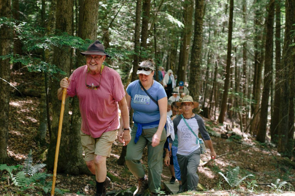
Cool hemlock forests, burbling brooks, and scenic vistas beckon you from all across the Hilltowns. Whether you’d like to sit and listen to the birds or take a long hike complete with steep boulder scrambles, you can find your next Hilltown adventure here.
Take Care When You Visit
- All of these properties are open to the public from dawn to dusk.
- No motor vehicles, with the exception of snowmobiles on established snowmobile trails, are allowed. Contact your local snowmobile club for details.
- Dogs are welcome on all properties, with the exception of the Historic Dam Trail. Please keep dogs leashed when others are near. Pet owners must remove pet waste.
- Please contact us if you notice any problems on our trails such as downed trees or washed-out bridges.
- Visit the pages below for specific usage information, directions, and maps of each trail.

Big View
WILLIAMSBURG
Sweeping valley views from a Hilltown hidden gem.

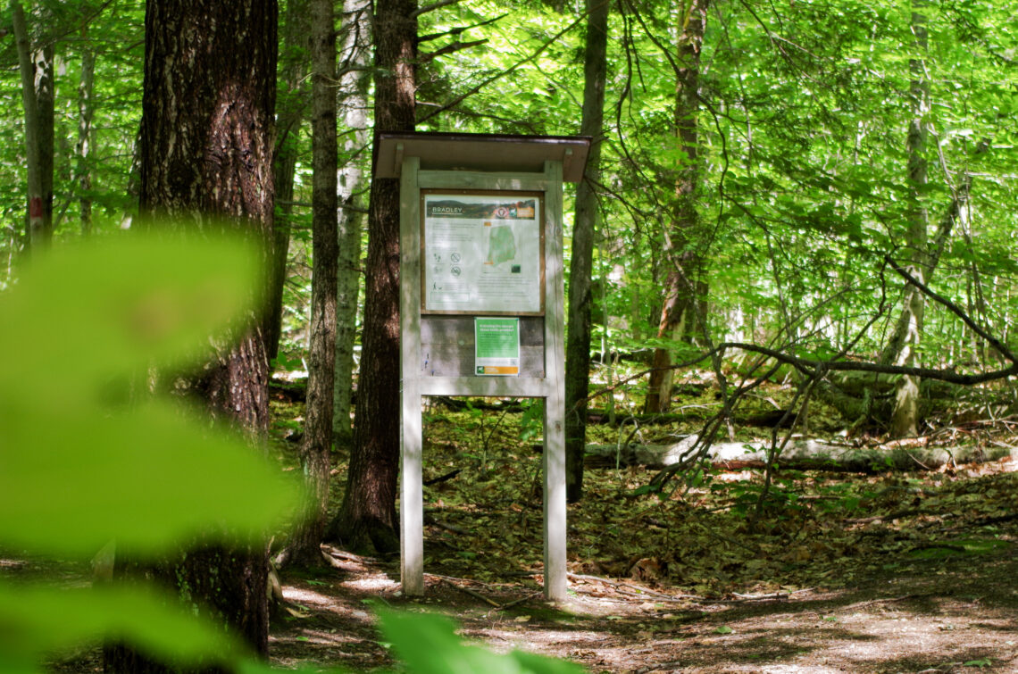
Bradley Sanctuary
WILLIAMSBURG
Choose your own adventure on a crisscrossing woodland trail network.
Breckenridge Sanctuary
WILLIAMSBURG
Blake Brook and the Mill River’s trout-stocked West Branch border a 1-mile forest loop.

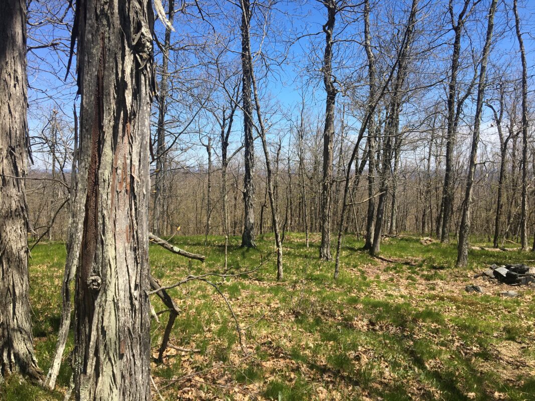
Clary Hill
WILLIAMSBURG
Stacked loops range in difficulty, offering varied habitats and views.
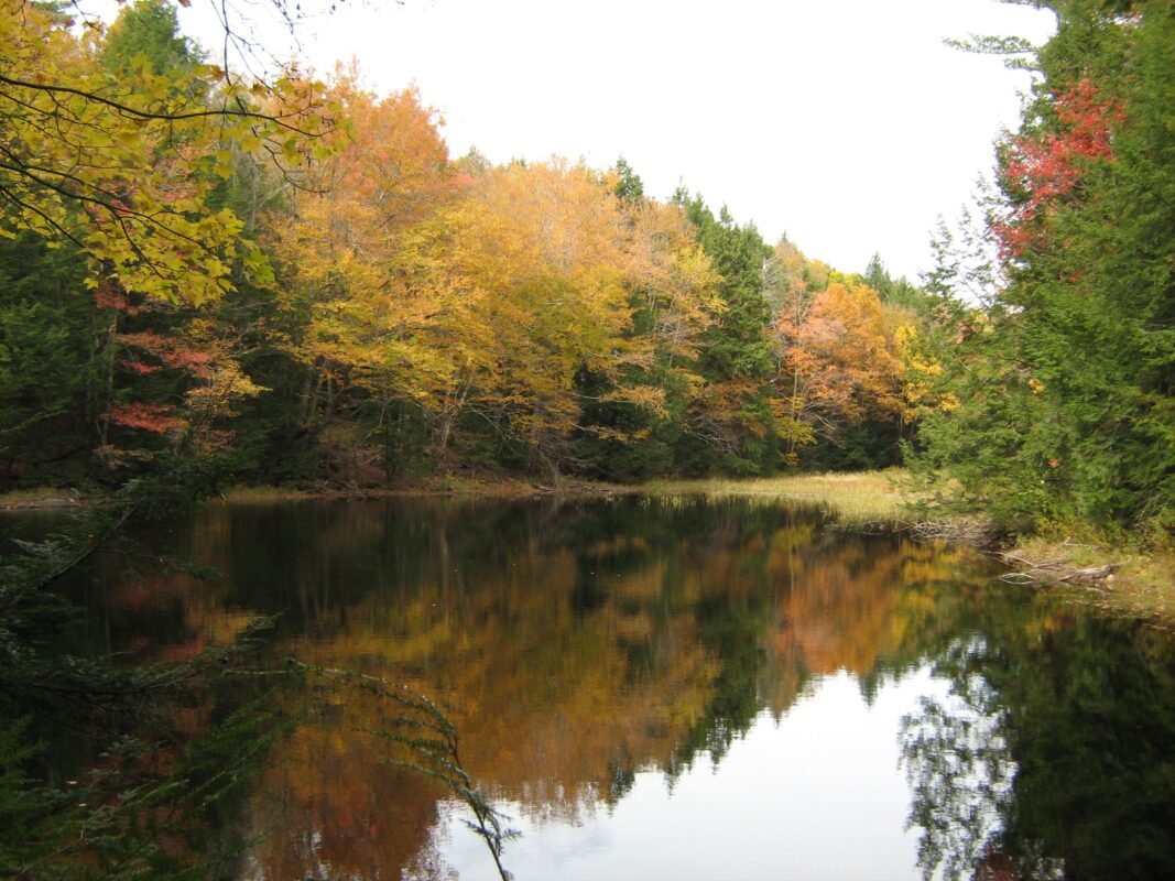
Conwell Property
WORTHINGTON
Watch the seasons change from a peaceful pondside perch, or climb Eagle Nest Ridge for a bird’s eye perspective.
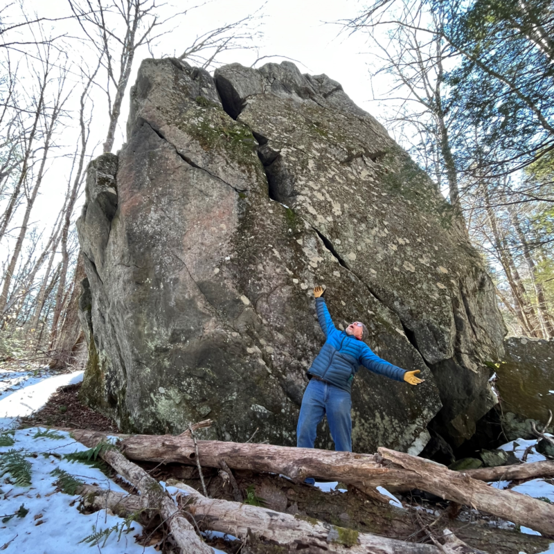
Hilltown Boulders
ASHFIELD & GOSHEN
Massive glacial boulders and a distant wetland view along a figure-8 loop.
Historic Dam Trail
WILLIAMSBURG
Climb to the remnants of the dam that caused the 1874 Mill River flood.
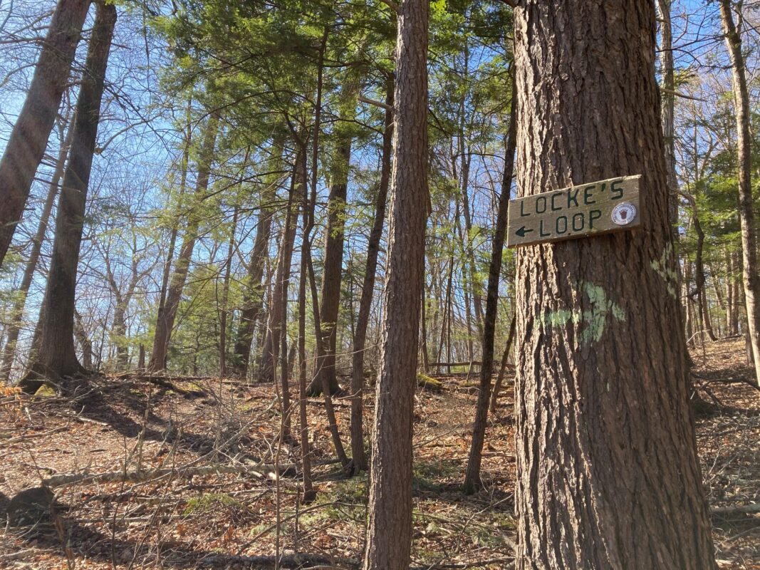
Locke’s Loop Trail
WILLIAMSBURG
Steep hillside trails and specimen trees near the center of Williamsburg.
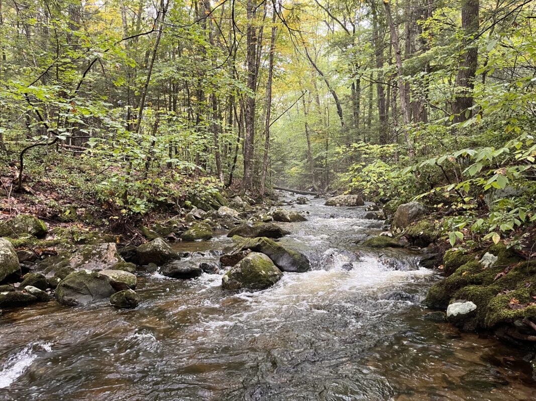
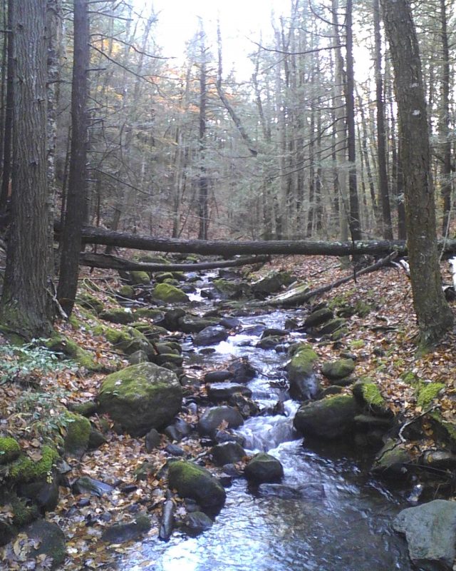
Robert’s Meadow Brook Trail
WESTHAMPTON
A wide woodland trail traces a burbling brook.
Photo by Lauren Katz.
Round Top Hill Trail
CHESTER
Shagbark hickories and summit vistas atop the high point of Hampden County.

Stevens Property
HUNTINGTON & WESTHAMPTON
Beavers, moose, and scenic vistas await on nearly 5 miles of rugged trails.

Waterfall Trail
CUMMINGTON
A gentle ramble to a seasonal cascade at Two Mamas Farm.
